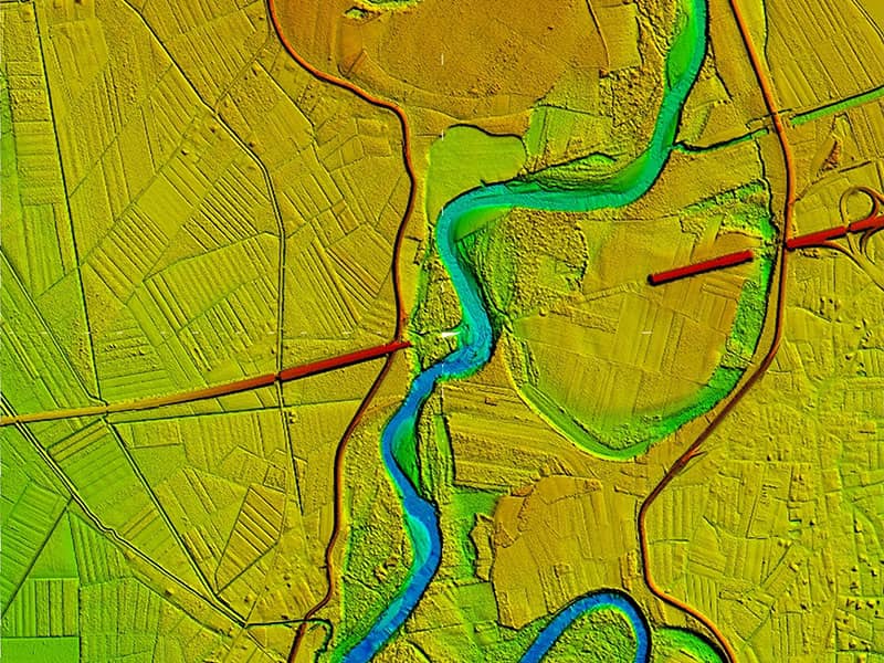
The Tagliamento is a braided river in north-east Italy, flowing from the Alps to the Adriatic Sea between Trieste and Venice. The watershed covers an area of 2,916 km². The Autostrada A4, or “Serenissima”, is a motorway which connects Turin and Trieste via Milan and Venice. It runs through the whole Pianura Padana, which is a densely populated and highly industrialized area, A4 is one of the most trafficked motorways of Italy. The motorway crosses the Tagliamento River in a crucial position of the river valley.
The aim of this study was to study the impact of the motorway on the Tagliamento river.
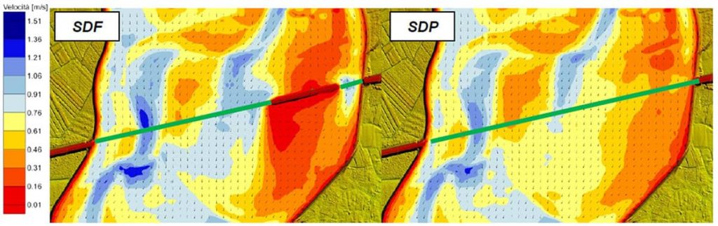
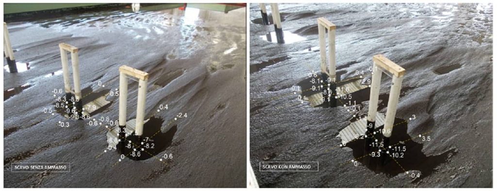
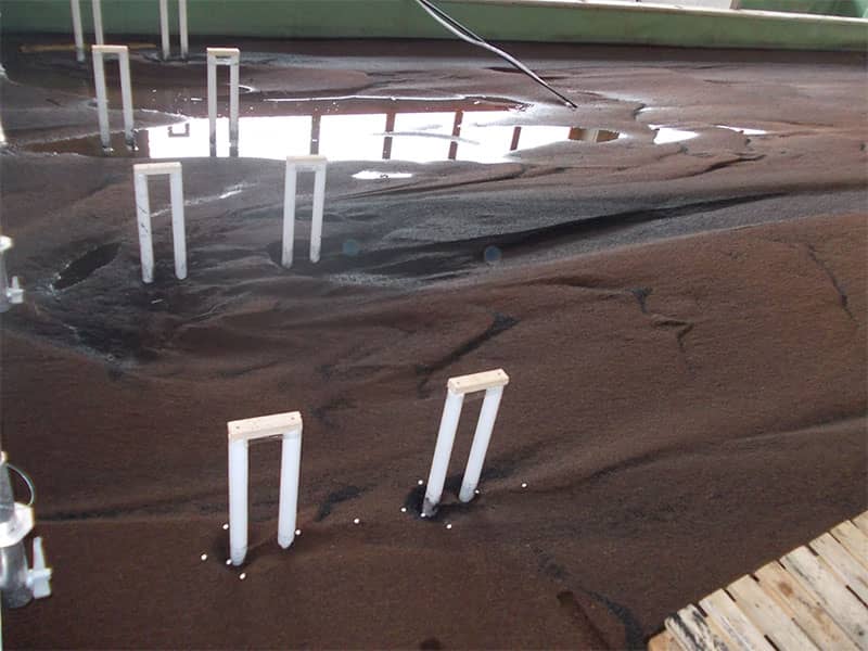
The purpose of the physical model was to study the effects related to the three-dimensionality of the river flow field to better understand the dynamics triggering piers/piles scour and failure mechanisms. The physical model evaluated the maximum excavation, considering the possible accumulation of floating material carried by the river flow.
| Sector | Disaster Risk Reduction & Management, Physical Modelling |
| country | ITALY |
| service |
|
| client |
Tiliaventum s.c.ar.l. |